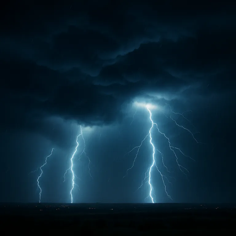
🌩️ Tuesday has been designated a First Warn Weather Day as meteorologists track a powerful storm system expected to move through the Kansas City metro area and surrounding regions — with the most dangerous period likely occurring overnight between 11 p.m. and 3 a.m.
🌀 What to Expect
The Storm Prediction Center has placed the southwest side of the Kansas City metro and areas to the south and west under a Level 3/5 risk, indicating a moderate potential for severe storms. All other areas in the metro fall under a Level 2/5 risk.
Primary Threats:
- 🌬️ Damaging Winds
- 🌧️ Heavy Rain & Localized Flooding
- ☄️ Large Hail
- 🌪️ Brief Tornadoes Possible
⏰ Hour-by-Hour Breakdown
- Morning: Scattered showers likely; little to no severe threat.
- Afternoon: Isolated storms may develop, still with low severe risk.
- Night (11 p.m. - 3 a.m.): Greatest danger window for severe storms, including possible tornadoes and damaging winds.
🌡️ Forecast at a Glance
- Morning Low: ~70°F
- Afternoon High: ~83°F
- Winds: From the southwest at 5–10 mph
- Skies: Mostly cloudy throughout the day
🧠 Safety Tips
- ✅ Enable emergency alerts on your phone
- ✅ Have a safe shelter plan ready — especially if you’ll be asleep
- ✅ Charge devices and flashlights ahead of time
- ✅ Avoid traveling during late-night hours
📍 A Reminder to Stay Alert
While Tuesday may start off uneventful, the overnight hours could bring fast-developing storms that pose a serious threat. First Warn Weather Days are issued to provide early notice — stay tuned to trusted sources for updates throughout the day and evening.
By ✍️ Yorlinda Ramìrez - MicuPost Team
Sources:


